The Webster City Postcard Project

old postcard of webster city

Welcome to the Webster City Postcard Project!  Scroll through the galleries below to see postcards and images from the past and what those same locations look like today.  Some shots are aerial and others are at ground level.  Click on an image to get a larger view.  You’ll also find some bonus images and video just for the fun of it!  And don’t forget to check out our Facebook page here!

Please support and thank our sponsors for making this project possible!

Founder

OHP Marketing Services logo

Historian

Enjoy the galleries!

Birdseye view of Webster City

This is a birdseye view of Webster City that I assume was taken from the co-op elevator.  This is looking southwest from where the co-op stands today.  I don’t know if the number “68” has any significance.  You can certainly see how things have changed.


Jefferson Gymnasium

Jefferson Gymnasium was a WPA project and was under construction from 1941 to October 1943.  It cost the citizens $70,000, with the government providing another $70,000.  It also housed the industrial arts department in the basement.  

Although no longer the main gym, it is still used on a regular basis 79 years later.

City Hall

City Hall stood on the southeast corner of Second St. and Seneca St. from 1900-1971.  Today this area is known as City Hall Plaza.

North and South school buildings

Webster City had some amazing architecture, especially on this block!  Along with the courthouse, there were the North and South buildings.  They were located on the corner of Prospect St. and Elm St. (South building) and Prospect St. and Bank St. (North building)  Today, the Middle School sits where the South building stood, and a grass field replaces the North building.

Mercy Hospital

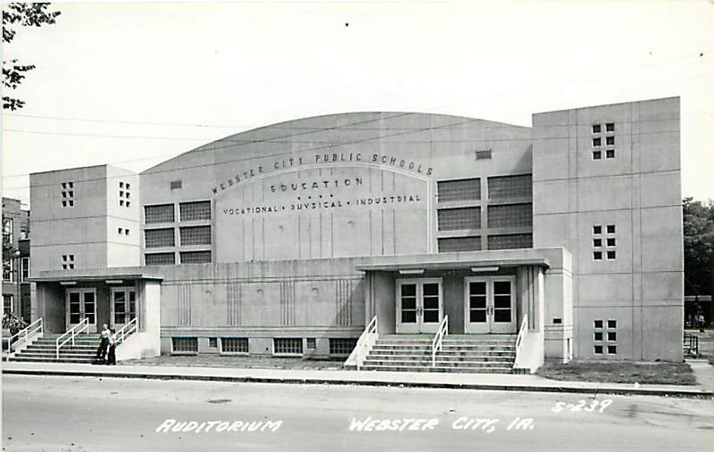
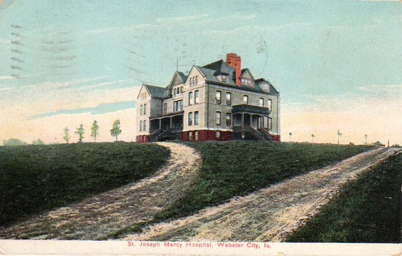
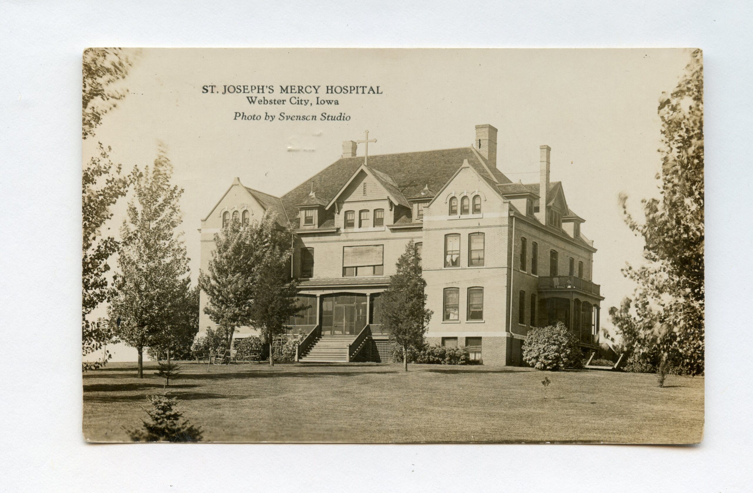
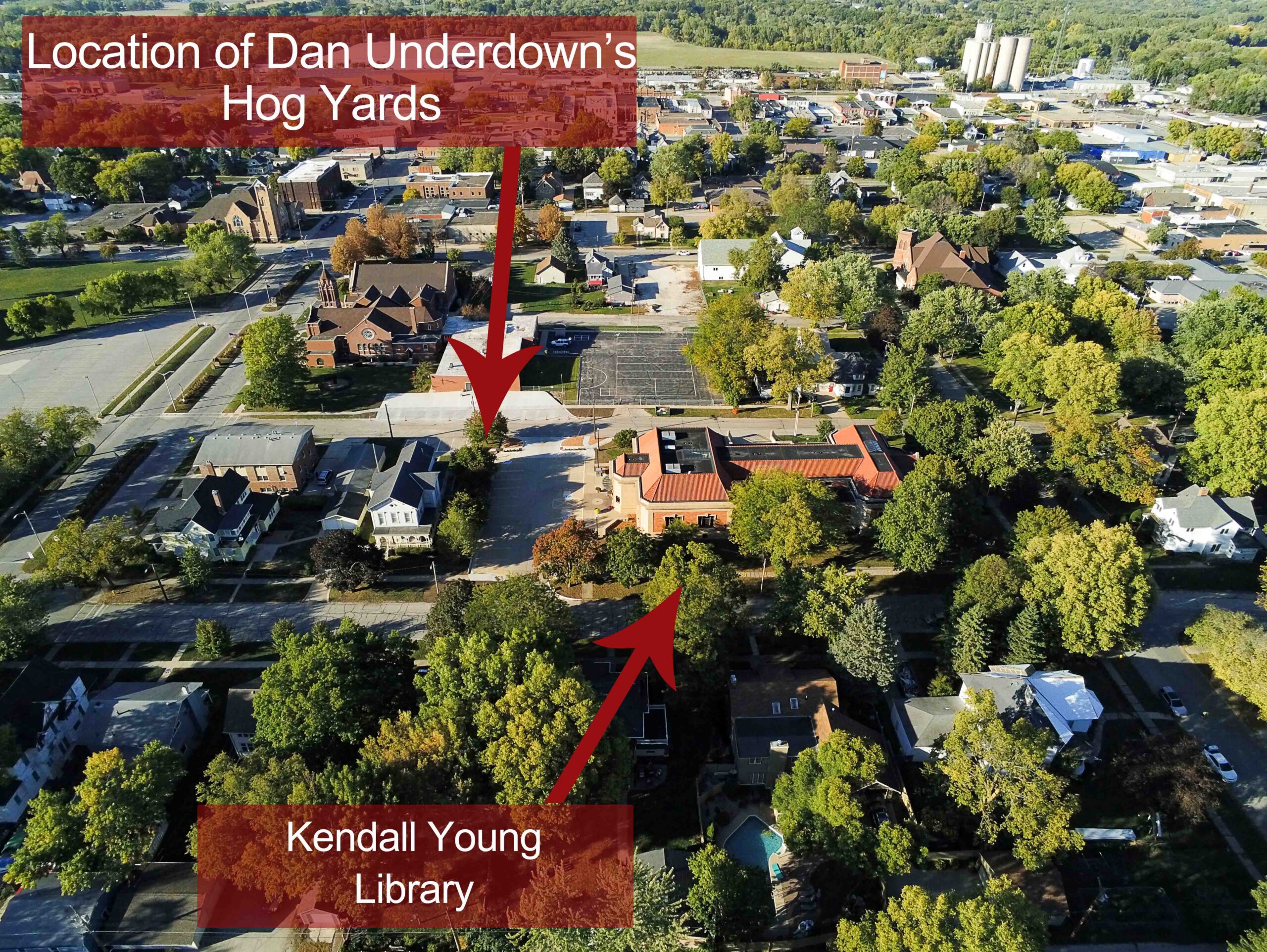
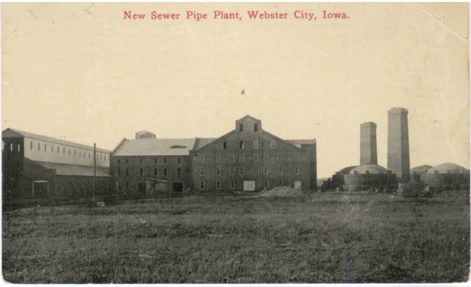
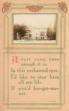
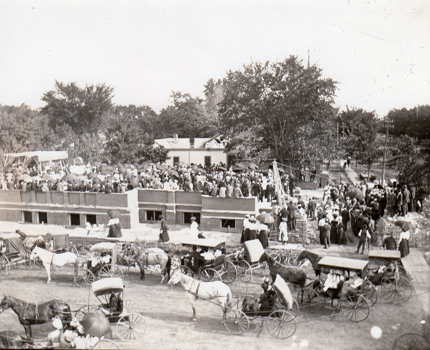
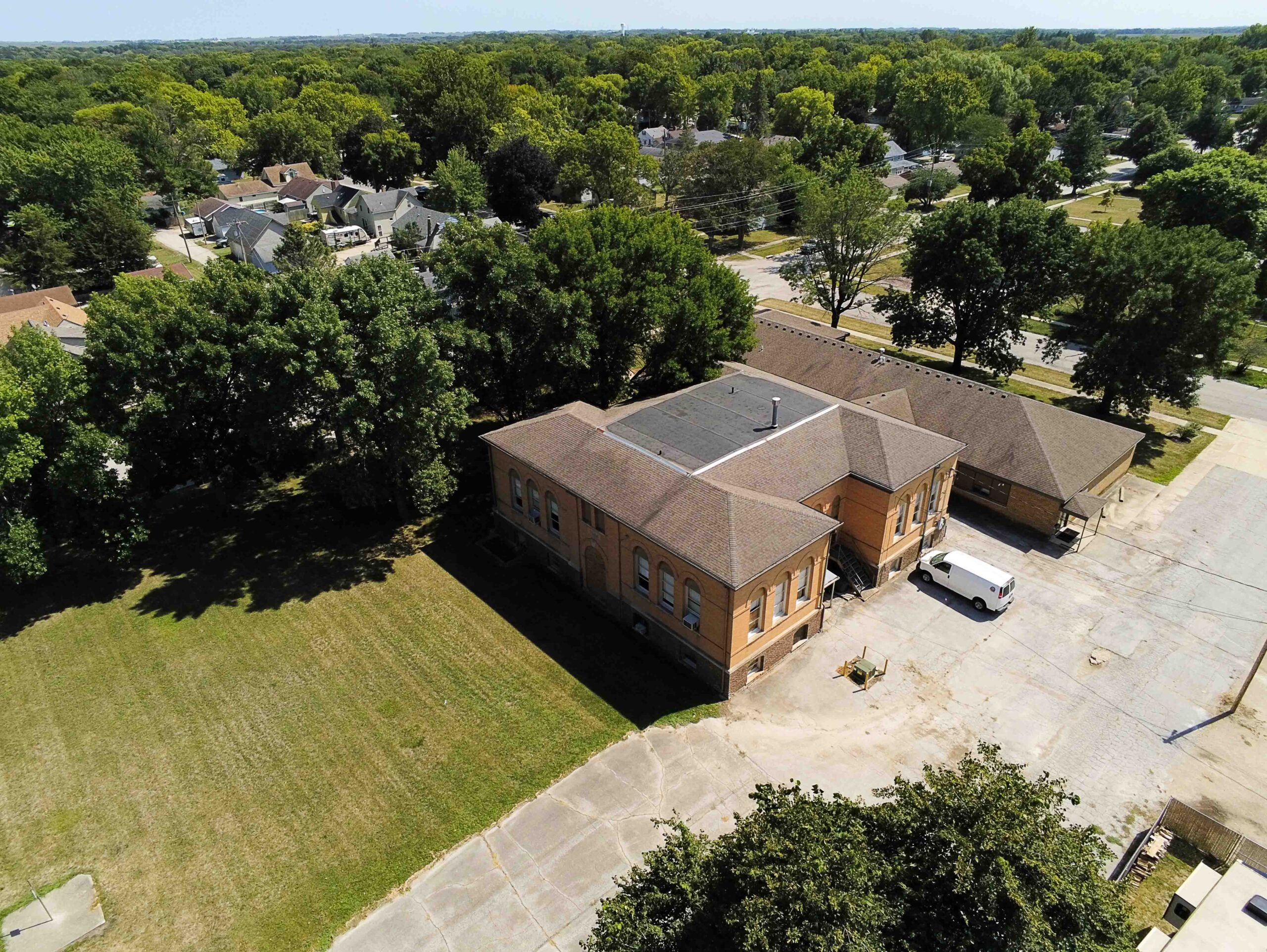
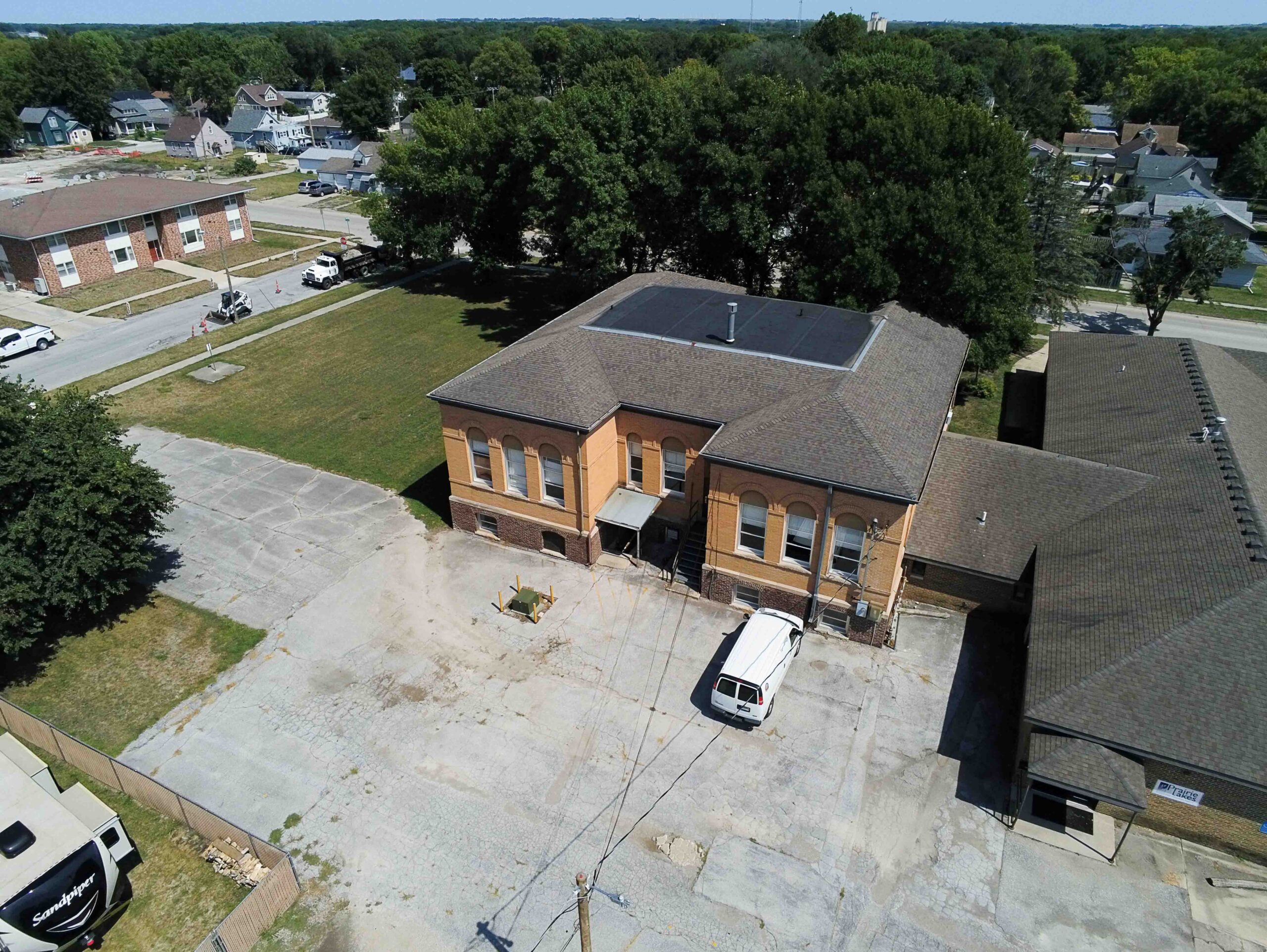
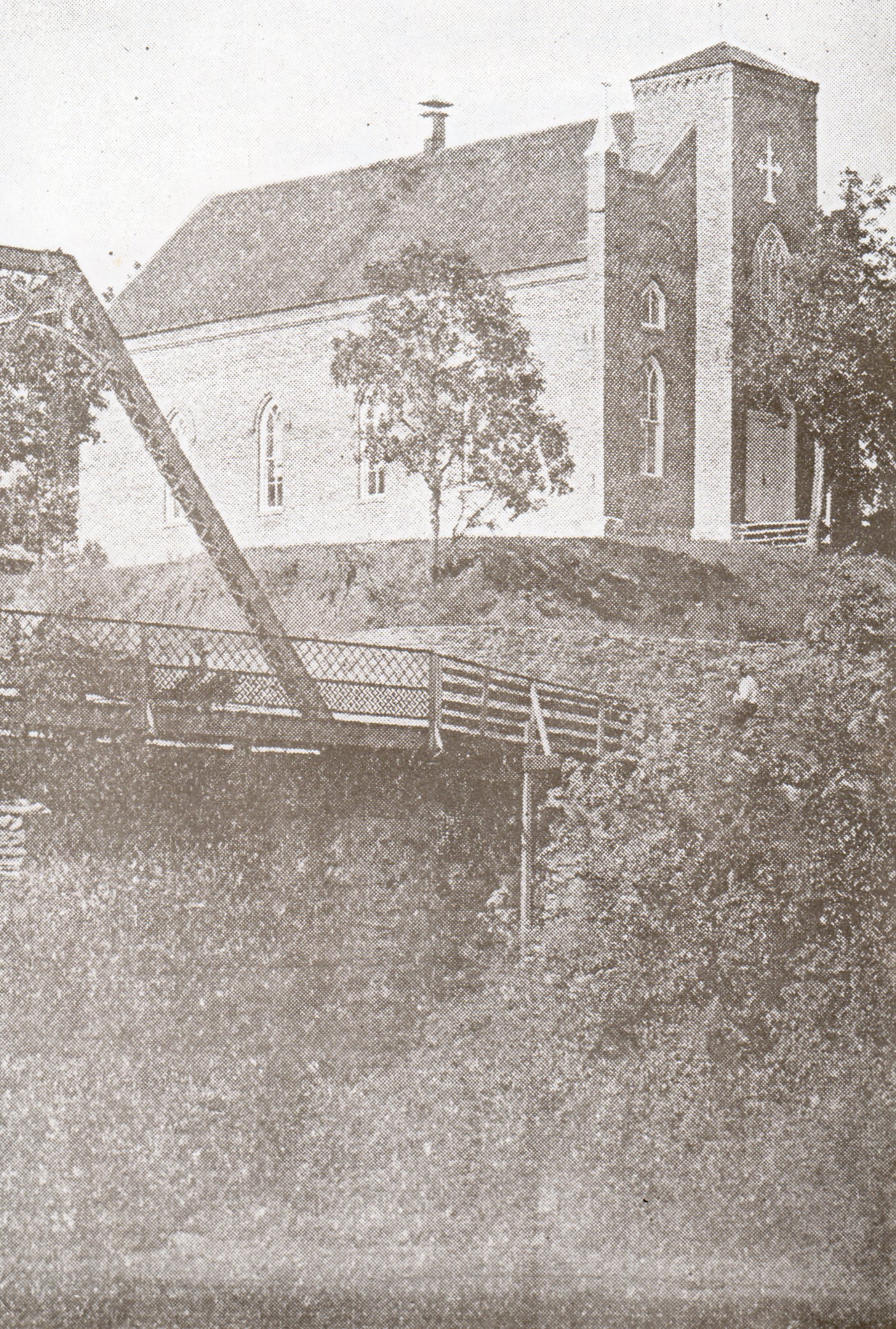
At the turn of the century, Jacob Funk began to think about what he could do to create a gift to his city similar to Kendall Young’s contribution of a library. In 1902 he came up with the idea of building the first hospital for Webster City. He donated 3 acres of land at the southwest corner of Ohio and Des Moines Streets and arranged for the construction of a $25,000 hospital there. The building was a three-story brick structure with a full basement. It had 25 beds for the accommodation of its patients. An article in the Freeman Journal stated that it had a most modern and fully equipped operating room. The building had electric lighting and a steam heating plant. Funk set up a board of directors which included himself, L. A. McMurray, and Cyrus Smith. McMurray was president of the Hamilton County State Bank, and Smith was the cashier.

To operate this fine hospital Funk searched widely and found the Northwest Conference of the Methodist Episcopal Church willing to take it on. Funk conveyed the hospital and grounds to the Methodists with a deed that provided that “…the grantees should equip, use, operate, and maintain the hospital for the care and treatment of people requiring medical or surgical aid, without regard to sex, color, nationality, or religion.” It further stated, that “… one-fourth of the privileges and accommodations of said hospital, to be designated by the management, to provide free care for those unable to pay.” This deed was dated Feb. 23, 1903.

It was assumed by friends of Funk that he intended to endow the hospital in his will to perpetuate the hospital, since he had no direct heirs. At this time, the hospital was simply called the Webster City Hospital. On Nov. 29, 1903, Funk returned to the hotel after working at his farms and other properties. A card game was in progress in the lobby, so, as was his custom, he sat down to observe the game. After a short time, he made a small noise and slumped over and died in his chair.

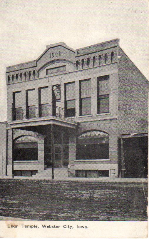
At the end of 1903 the Methodists gave up the hospital because they had operated it for the year at a loss and determined that it could not be operated with the one-fourth free care. According to the deed, the property reverted to the board of trustees. The hospital sat vacant for a period of over a year while the trustees searched for another organization to take over the operation. Finally, on October 30, 1905, the Sisters of Mercy of St. Joseph’s agreed to assume the deed and the operation. From that day on, the hospital was called Mercy Hospital. During this time the board of directors consisted of L. A. McMurray, J. L. Kamrar and Frank E. Willson.

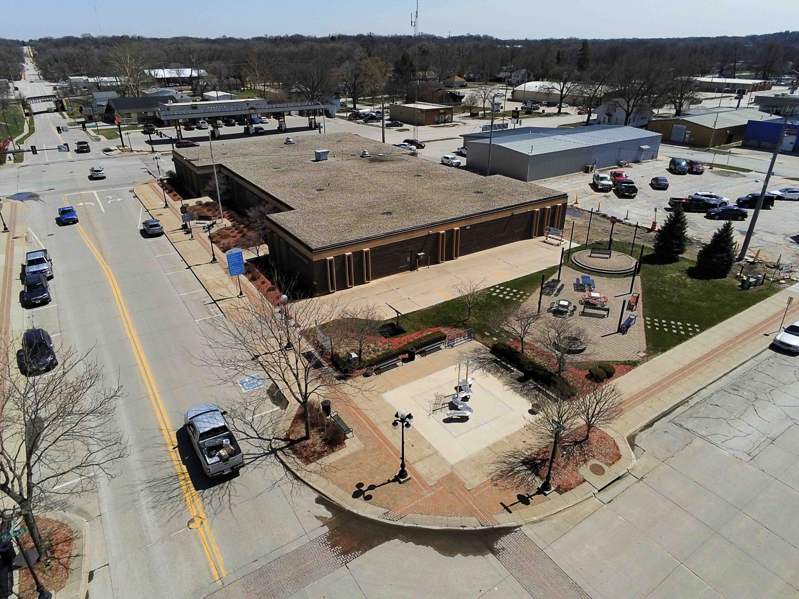
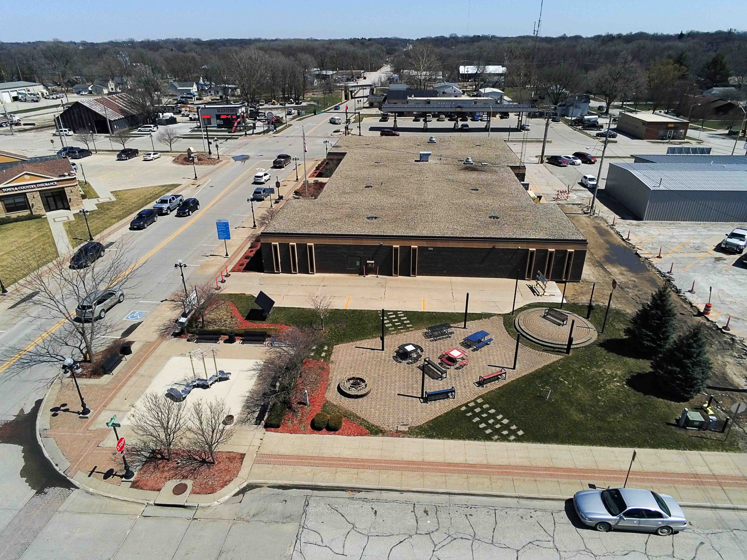
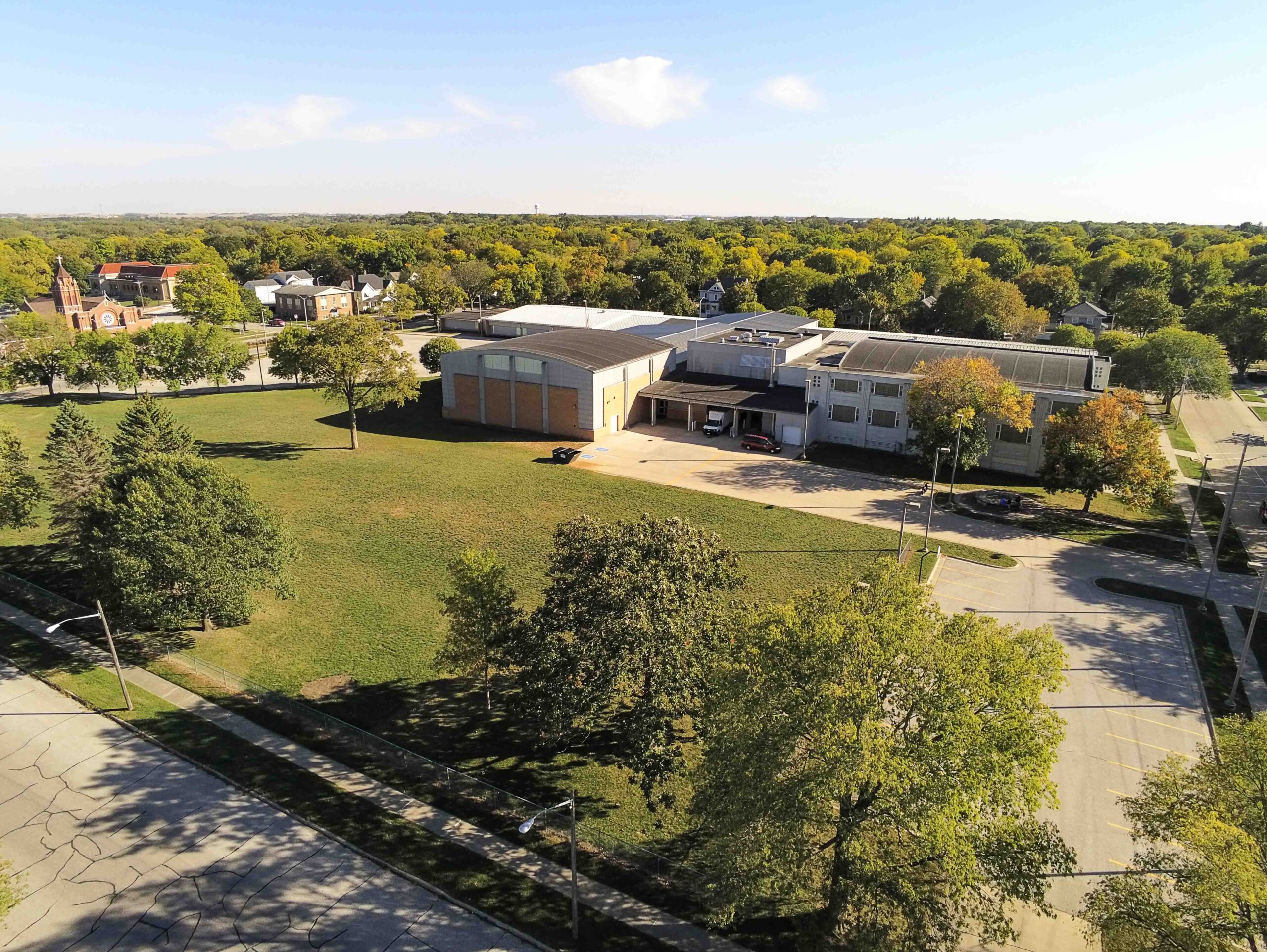
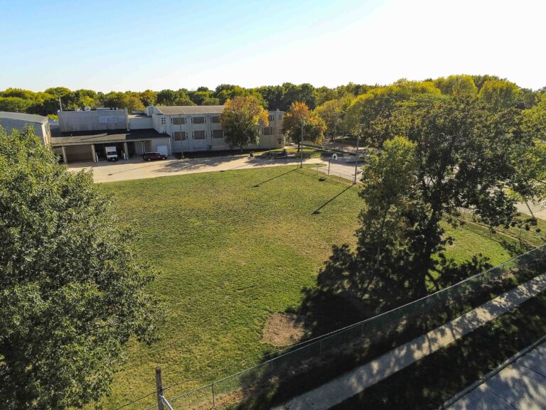
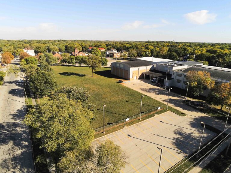
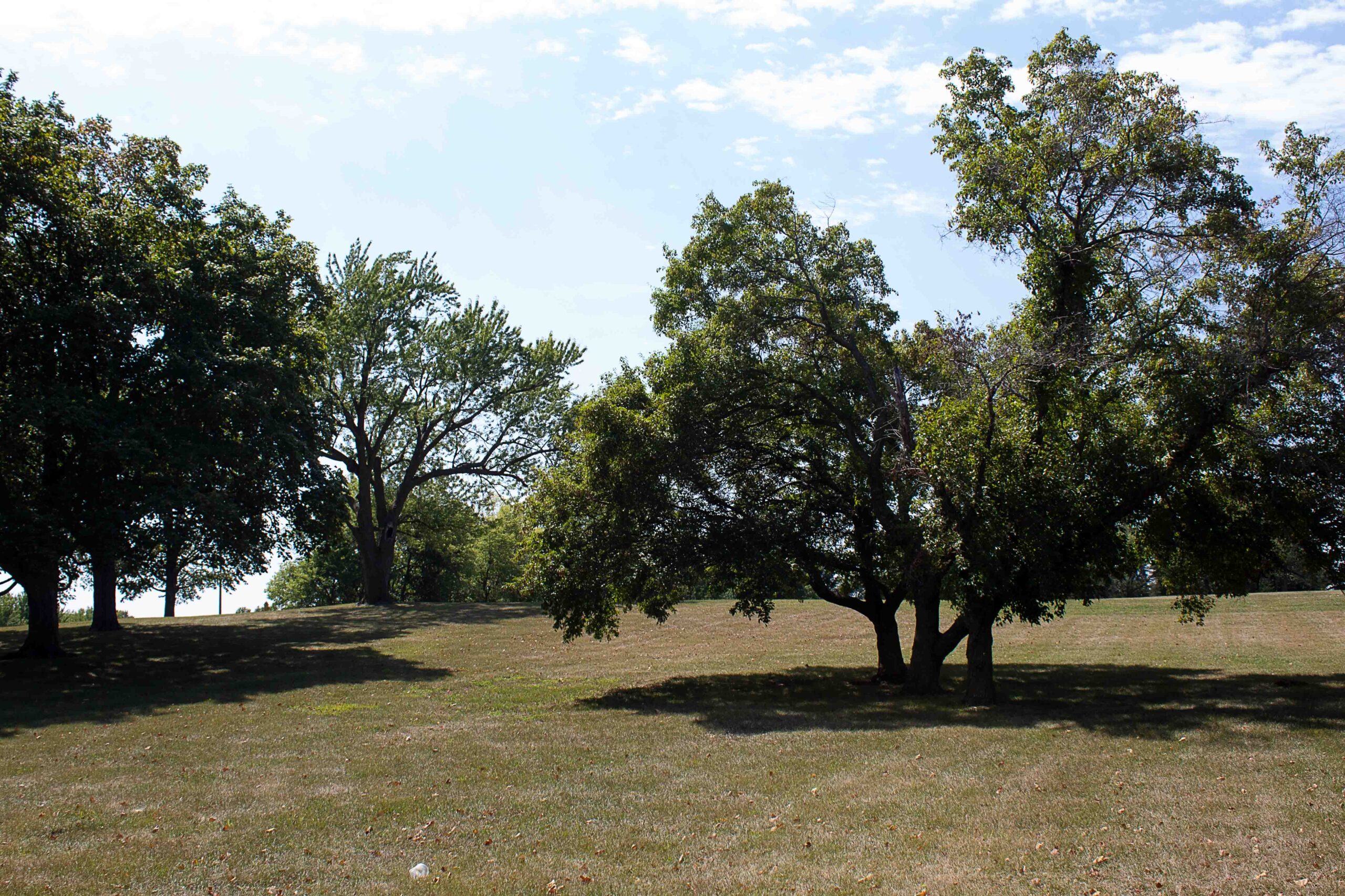
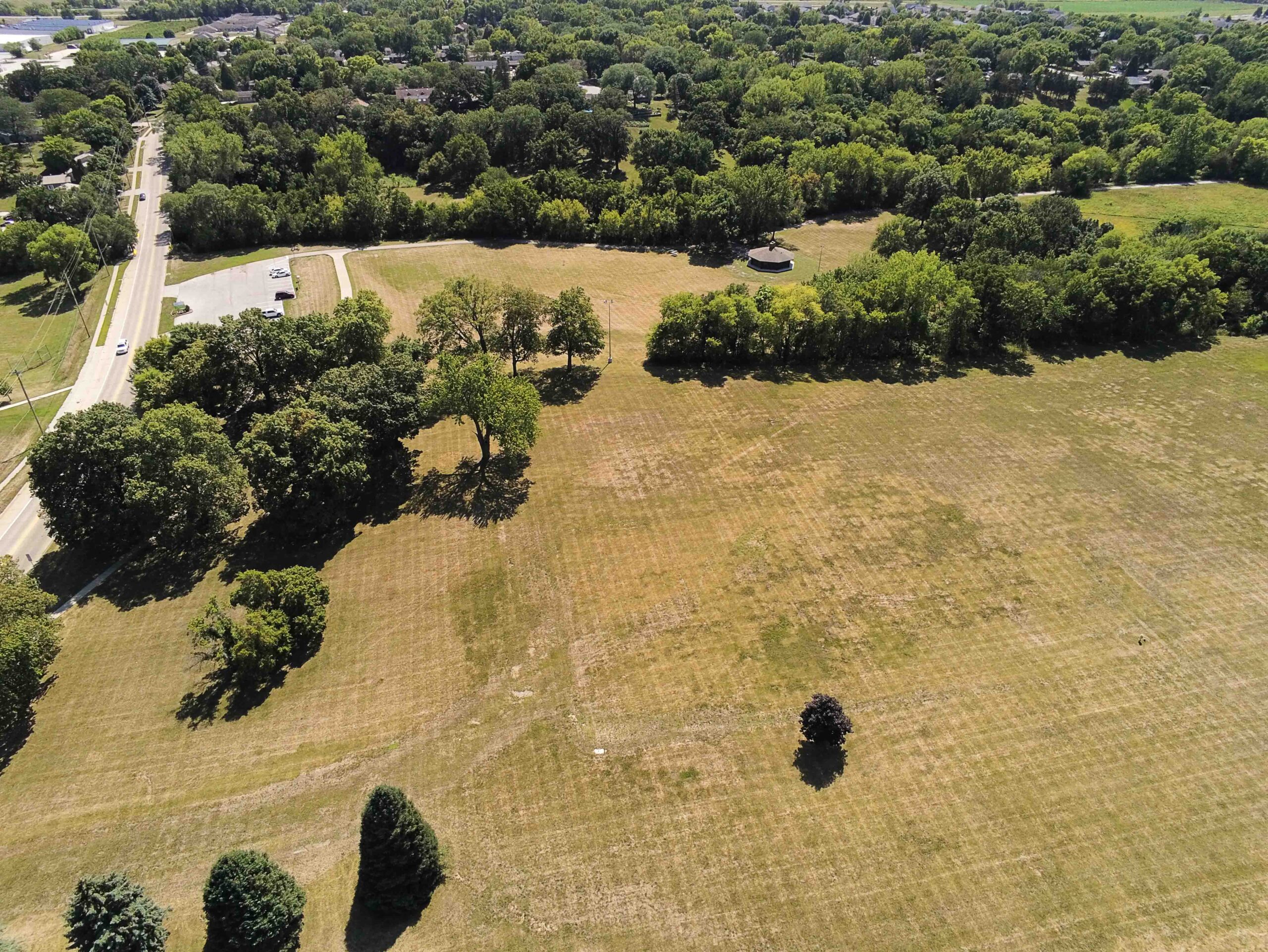
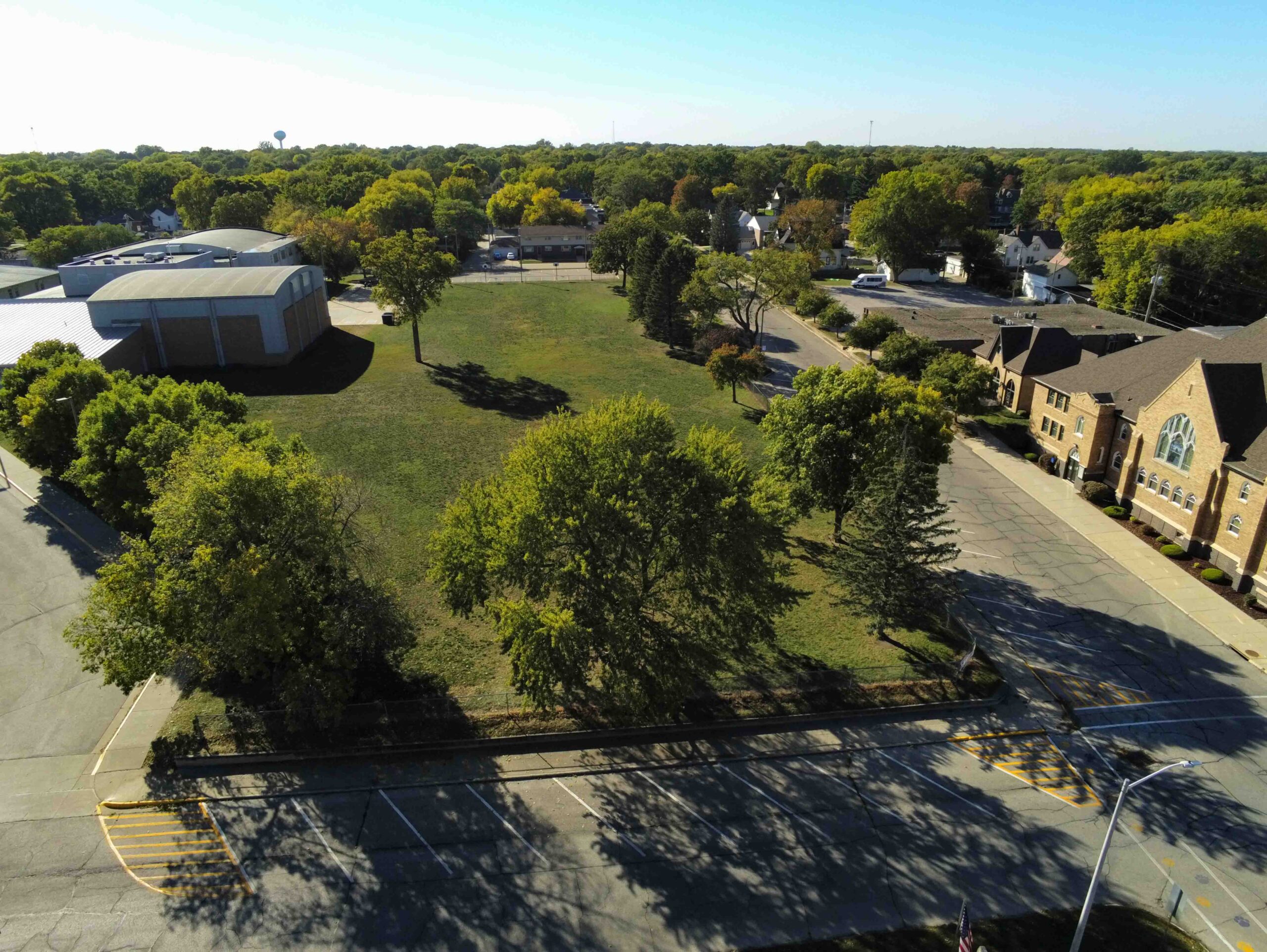
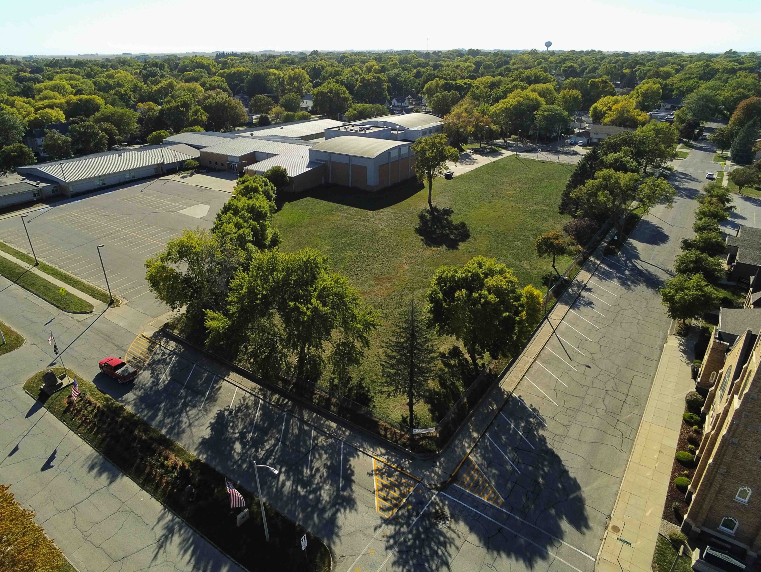
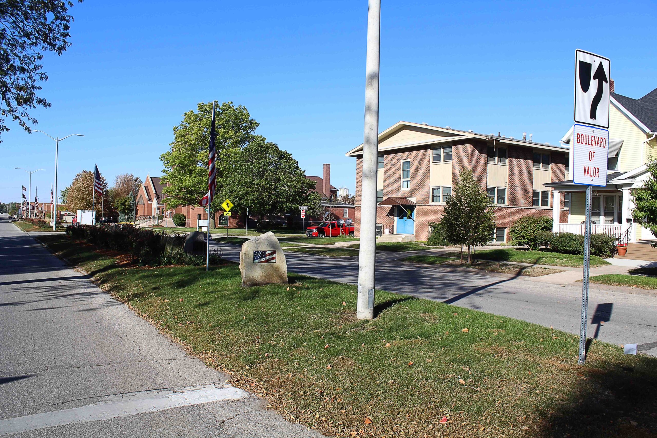
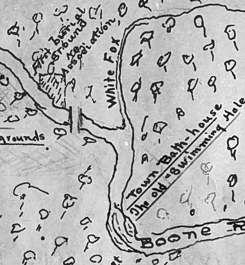
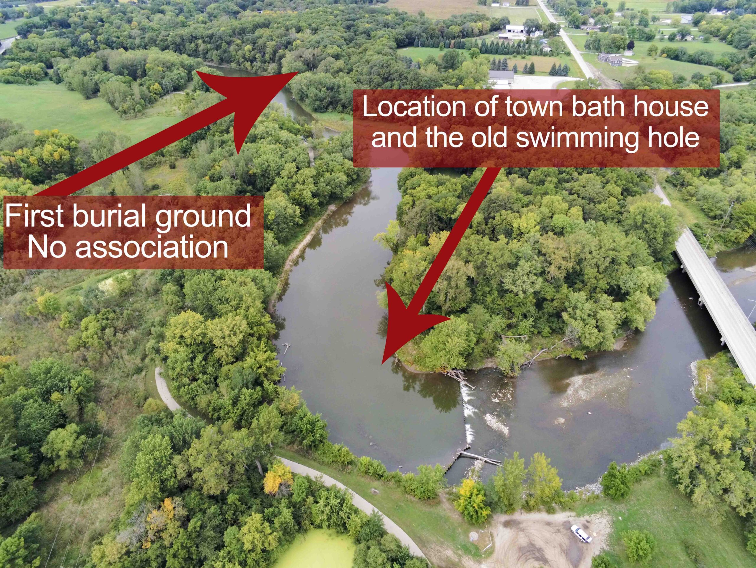
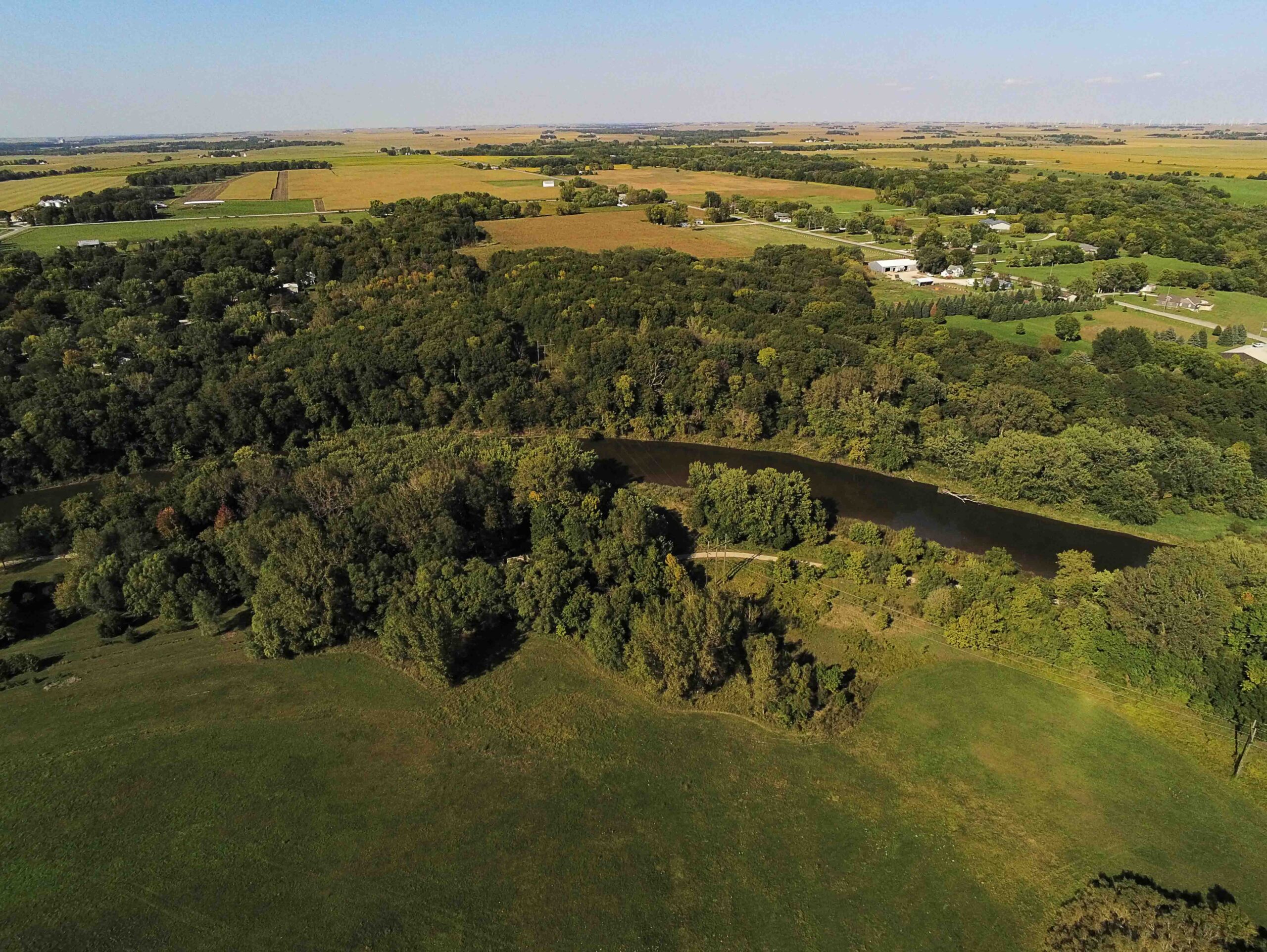
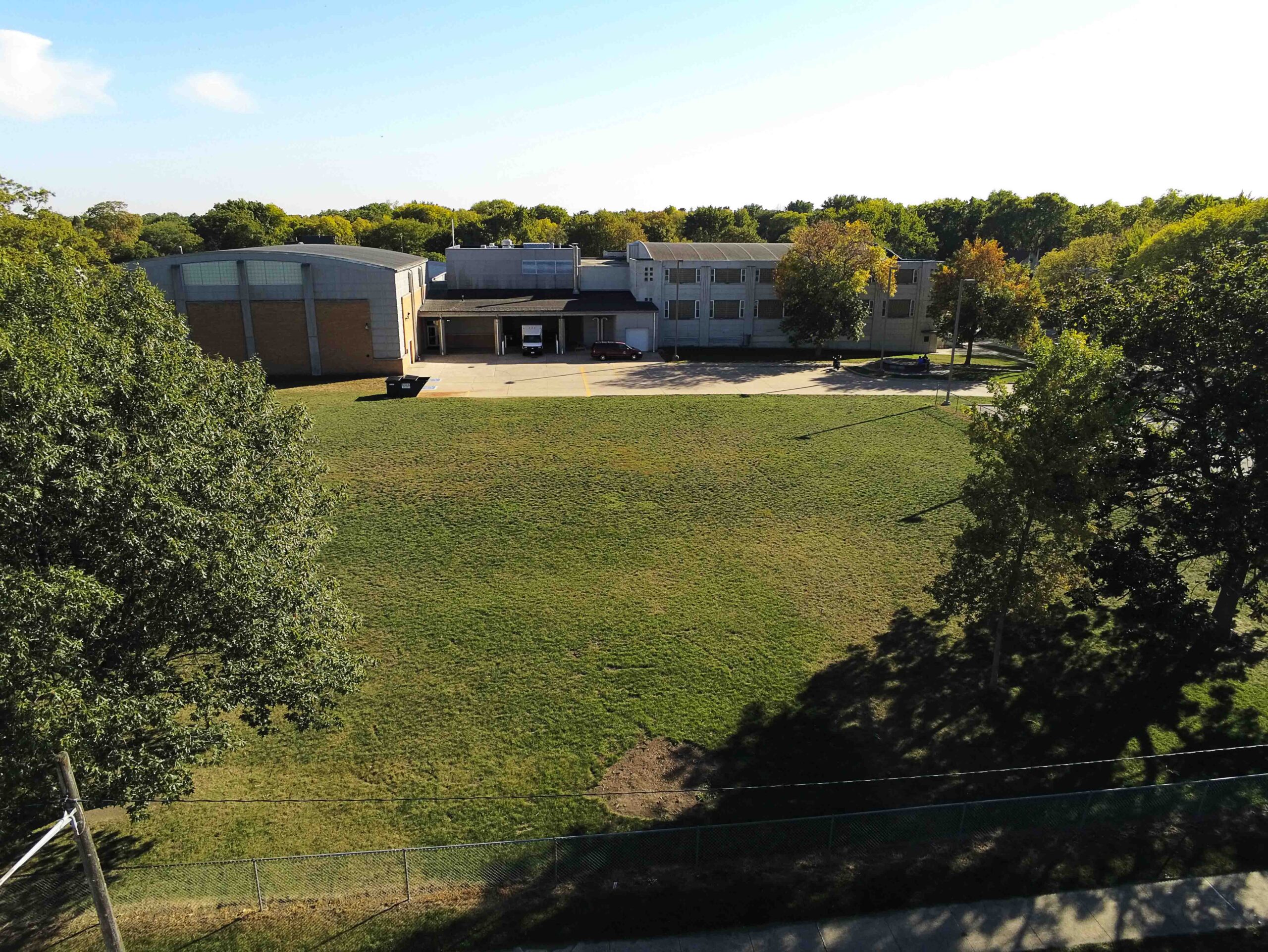
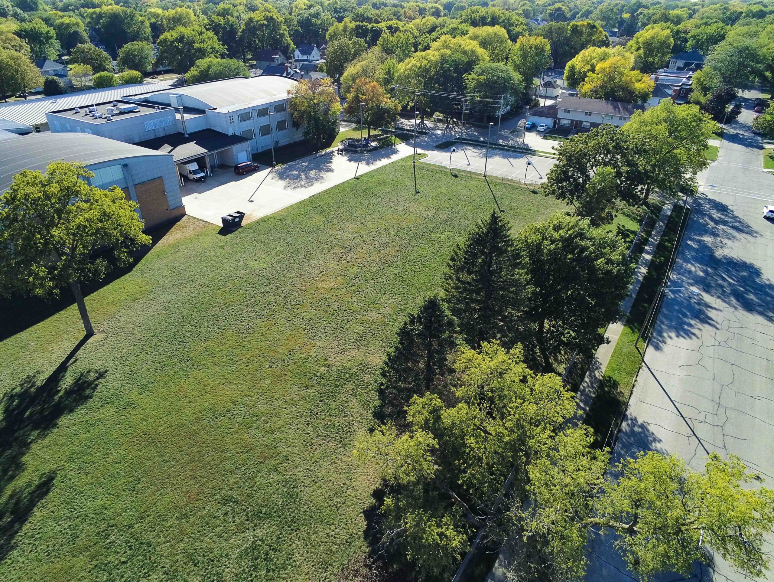
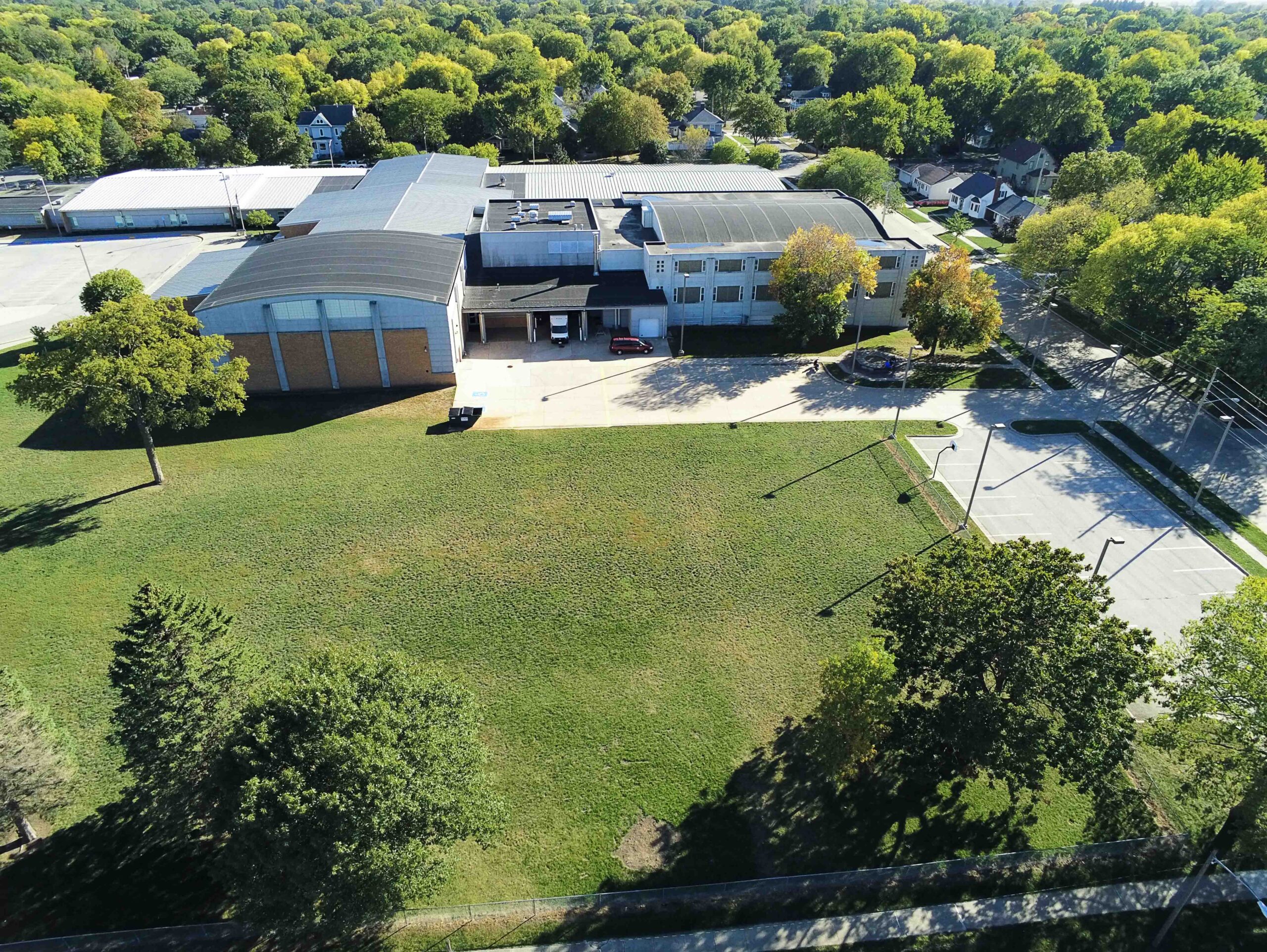
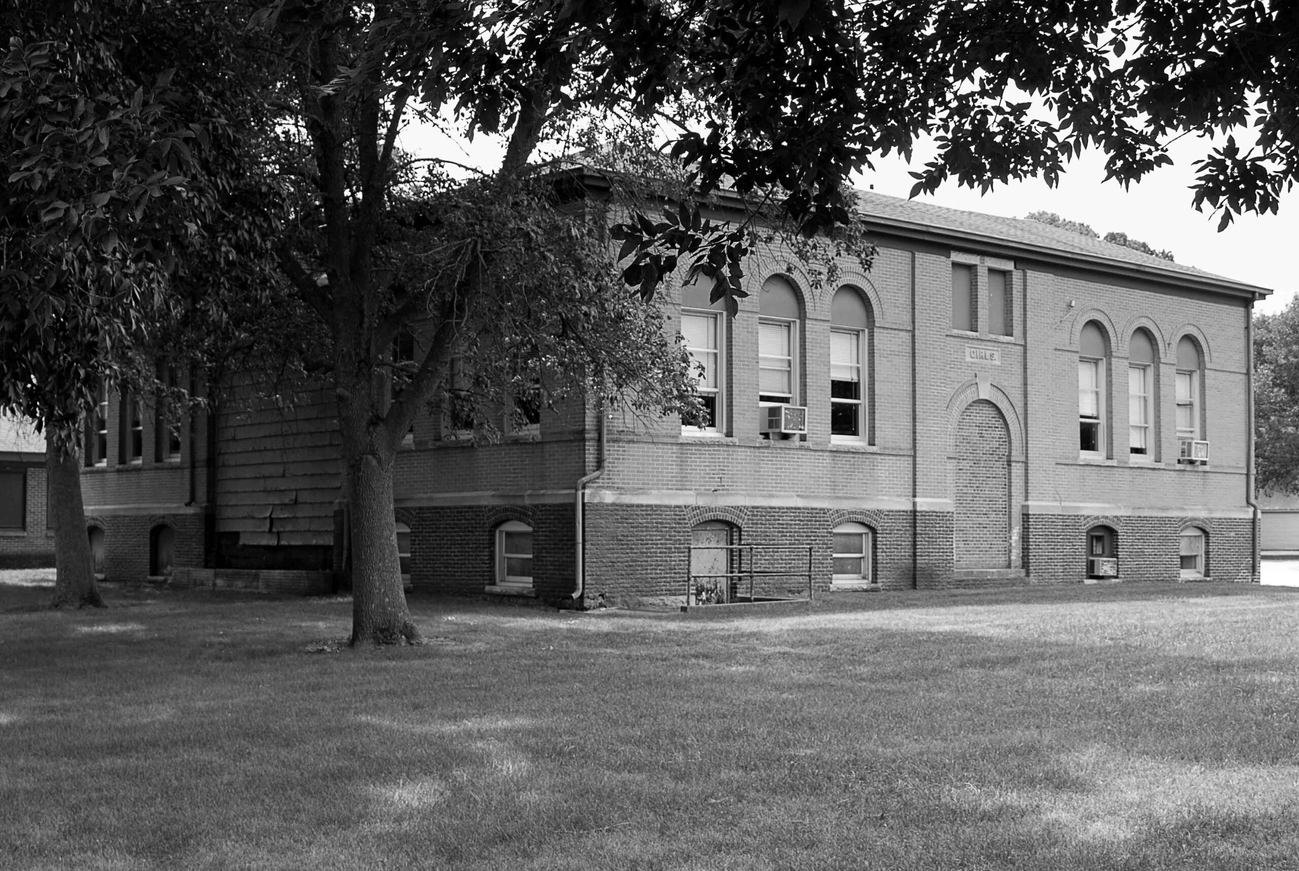
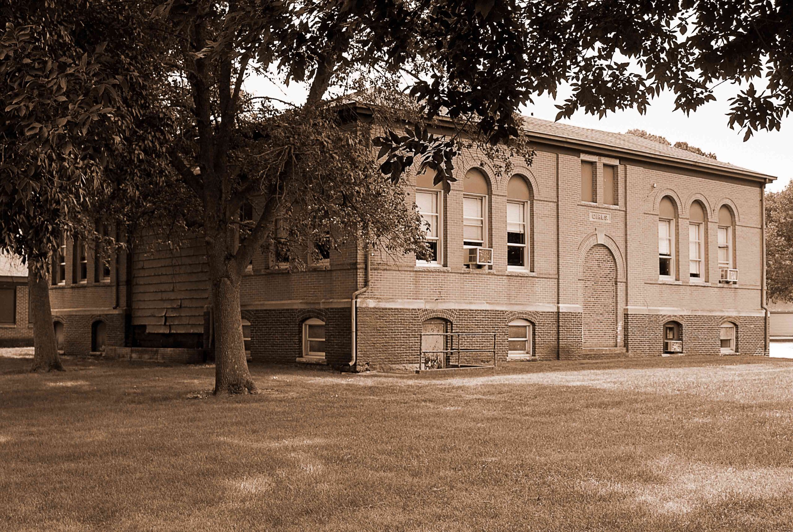
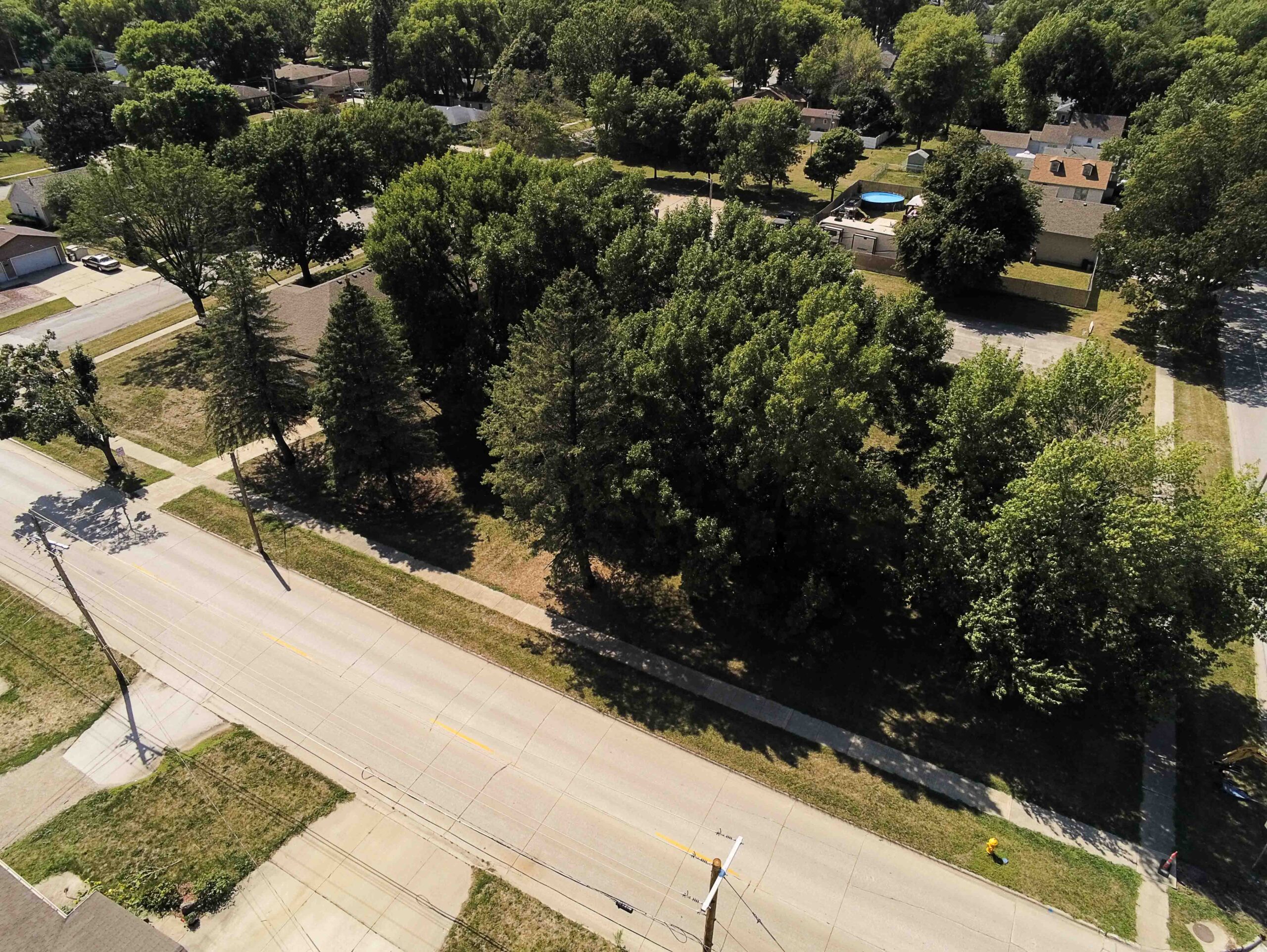
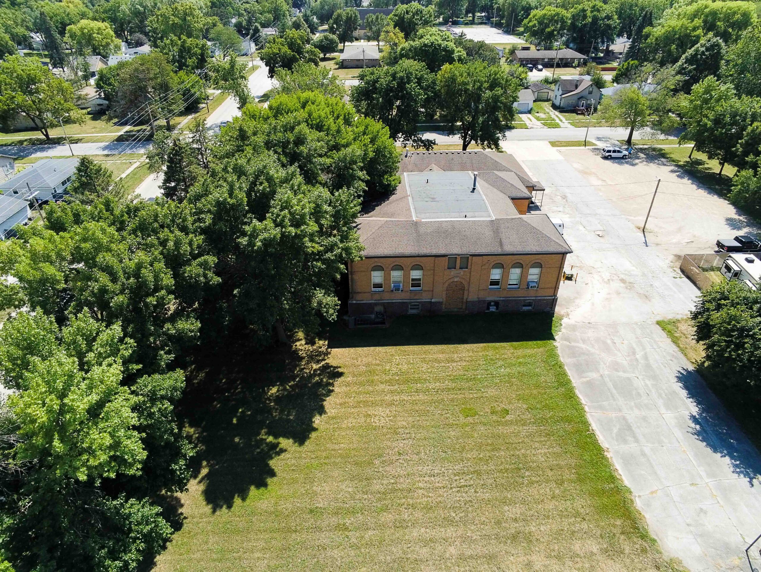
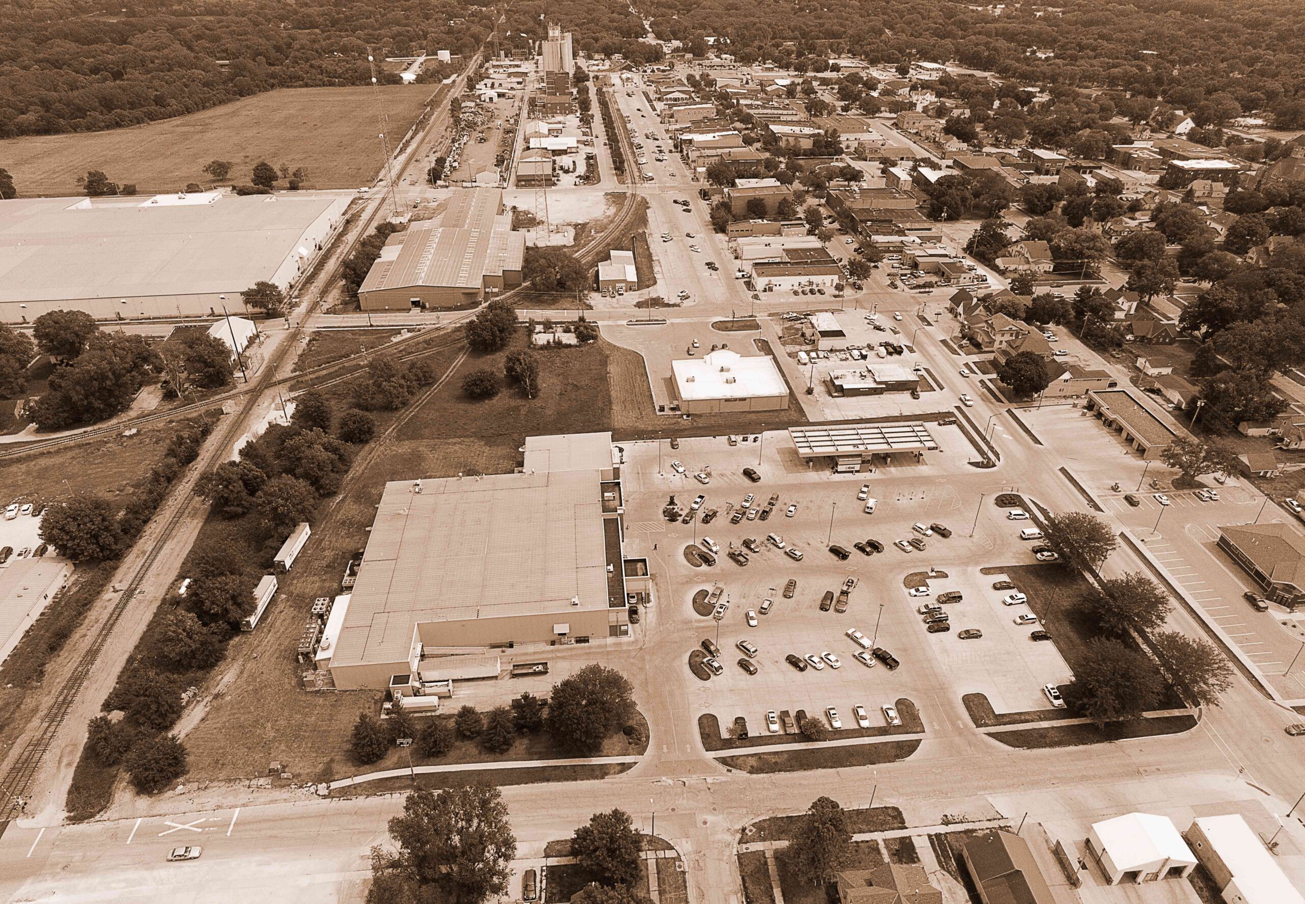
Today this area is a grass field with a few trees.  There is a large boulder on the south side of the property near the top of “Hospital Hill” that marks the approximate location of the original hospital. (Credit-Hamilton County History)

Driving Park Track

Today, the sounds at this location in Webster City include crowds cheering on the Lynx baseball team.  Going back to 1867, the crowd was cheering horses racing around what would be called the Driving Park Track!  In 1910, cars took the place of horses and races continued here until 1939.

This location has such an interesting history. We encourage you to read the newspaper articles that are in the photo gallery.  You can also check out one of the early race programs.

Hamilton County Courthouse

I think it’s safe to say that this was one of the most photographed buildings in Webster City.  The courthouse stood on the southwest corner of the Des Moines St. and Bank St. intersection.  The cornerstone was laid on July 4th, 1876.  It was dedicated on July 4th, 1877.  Today this area is a grass field for the Middle School.

I love this description from Lee’s 1912 History of Hamilton County Iowa;
On the high ground near the center of Webster City stands one of the substantial county courthouses in the state.  Its proportions are ample and imposing.  Its tower rising high above the city is visible for miles around and from its top is presented one of the most beautiful scenes the eye ever dwells upon.  To the north and south the woodland stretches, while looking down upon it the water of the Boone can be seen all along, winding their way through farm and field and forest, a thread of sparkling silver in the sunshine.  To the east and west, the broad prairie spreads away, covered now with well-tilled field and dotted thickly with white farmhouses and big red barns presenting a perfect panorama of beauty, that on a clear bright day can be plainly seen with the naked eye from the timber of the Skunk River on the east to the wild and rugged Des Moines on the west.

To borrow a line from the movie National Treasure, “People don’t talk like that anymore.”

Marvel Sales Barn

The Marvel Sales Barn was a hub of activity back in the day.  As you can see, the old aerial image is from 1940 for the 5th Annual BBQ and livestock auction, as well as the dedication of the new sales pavilion.  According to Ed Nass and Hamilton County History, this land was sold to Kenneth H. Marvel on September 1st, 1939. 

This is part of a presentation from Judy McLaughlin, whose father was Jack Marvel;  “The barn could accommodate 2000 cattle and 1500 hogs at each sale.  Sales were held every Tuesday and Saturday year around and in the winter a third sale was held for horses alone.  The pavilion had a seating capacity of 1200.  The pavilion was heated by an immense oil-fired furnace with air-conditioning attached.  The barns were equipped with city water and sewer connections.  The office had the newest equipment and the lunch room operated by my mother and Ann Dunham served the best food in Webster City, according to my brother.”

Today, this area is occupied by several different businesses.

Esplanade on Des Moines Street

Have you ever heard of the boulevard on Des Moines Street referred to as “The Esplanade”?  According to the photographer of this vintage image, that is what it was called at one time.  We now know it as “The Boulevard of Valor”.

Merriam-Webster defines Esplanade as a level open stretch of paved or grassy ground especially one designed for walking or driving along a shore.

This is one of those images where some things have changed and some haven’t.  The boulevard is still in place and St. Thomas Aquinas Church is still standing strong.

Illinois Central Depot

The Illinois Central Depot began operation in this location in 1902.  Today, a cell phone tower occupies the space.  In 1971 the building was cut in half and the move to Willson Brewer Historic Park began.  You can read some great history about this building here.

1857 Topography Map - Section 16

This section is located in the southeast corner of the hand-drawn 1857 map.

This location is well-known for the Chase Mill, but there are some additional interesting landmarks.

The map says “Sawmill built by W.C. Wilson and others.  Afterward a mixed saw and flouring mill.  Afterward rebuilt as a flour mill and last known as Chase’s Mill.”  Right next to Chase Mill there is a notation showing the Stoddard & Pray’s Furniture Factory.  Located on Brewer’s Creek there is a location on the map for W.S. Pray shingle-making mill.

This was a very busy area of town in the early days!

This information is from Hamilton County History;
In 1855, Walter C. Willson constructed a water-powered sawmill at the junction of the Boone River and Brewer Creek in the east part of Newcastle, later named Webster City. The mill turned out boards and shingles. In 1856, the mill was purchased by Stoddard and Pray. They established a planing mill and a furniture factory. A corn cracker was added so the pioneers could add hominy and “samp” to their diet. Samp was a corn porridge. In 1868, John Hill bought the mill and sold a third-interest to his brother-in-law, Preston Kimbrell. Hill converted the mill to a flour mill. Hill sold his interest to Judge D. D. Chase in 1873, and four years later, Chase acquired the remaining third-interest. Chase employed Charles Closz to run the mill in 1882. During this time, Chase sued the Chicago & Northwestern Railroad for damages to his business as the railroad ran west of his mill. He stated that the trains bothered the horses and kept business from using the mill. He was successful in his suit and won some money for damages. Two years later, when Closz left the business, Frank G. Stearns was employed as miller. After two more years, Stearns left to start his own milling business, a steam flour mill that produced Plansifter Flour. This mill was called the Stearn’s Mill. It was located near the Crooked Creek Railroad Depot. Chase Mill, as it became known, was then abandoned and stood empty for many years. D. C. Chase, the son of D. D. Chase, offered the mill, the dam, and all of the land to the city for $1.00 for a park. The city council turned down the offer, as they determined the cost of maintaining the property would be too much. The building was torn down for the lumber. The foundation stones were removed and used for foundations of several houses. Many of the stones were used at the corner of Second and Prospect Streets to stabilize an embankment created when a gas station was located there on the southwest corner. A. C. Hoot purchased the Stearn’s Plansifter Mill and operated it for about 30 years as the Hoot Mill.

(Source-Hamilton County History)

1857 Topography Map - Section 10

The current location of the Kendall Young Library used to be home to Dan Underdown’s Hog Yards!

Ed Nass made mention of Dan Underdown in the story of how the Boone River got its name. 

They were instructed to find and map the junction of the Des Moines River with the Raccoon River, but their Indian guide missed that on the way northwest. When they came to the unnamed river branching off to the east, Lea named it the Boone River. They followed the Boone River fork crossing at Millard’s Ford, which is the location of the canoe access in Briggs Woods. The Dragoons continued into the present location of Webster City, crossing what we now call Brewer Creek. They traveled up the hill to what an early hand-drawn map called Underdown’s hog lot. It was on this site that Kendall Young later built his home and where the Kendall Young Library stands today. 

This section also shows the location of another clear water pool which appears to have been in the area of Broadway and Walnut or Boone Streets and the location of C.H. Clifton’s residence.  In 1917, Clifton became the President and General Manager of National Sewer Pipe Company.  You might recall that we did a post about that location a few weeks ago.

(Source-Hamilton County History)

1857 Topography Map - Section 7

Did you know that there used to be a clear, deep lake where Casey’s, City Hall and Town & Country Insurance now stand?

According to the map, Lake Dougherty covered the area from the train tracks on the north to approximately Division St. on the south.  From east to west it covered the land between Seneca St. and Superior St.

The map states, “Boat tipped over & man drowned 1858.”

This section also notes the location of the W.C. Willson log hotel near the tracks east of the lake.  According to Ed Nass, “At the point where the Chicago and Northwestern Railroad tracks cross Second Street he built his first of four hotels. It was a log cabin hotel. Willson’s wife, Calista, ran this hotel. One reason for Willson’s interest was that he thought that the railroad from Dubuque would soon arrive.” (Source-Hamilton County History)


1857 Topography Map - Section 2

This week we move on to what I call “Section 2” of the 1857 topography map of Webster City.

This section is quite amazing, as it features the area where tribal council grounds were once located, as well as the Willson Estate and old Chautauqua grounds.

In regards to the tribal council grounds, the map says this; “Tribal Council Grounds of the Sac and Fox Indians.  In the early days of Webster City, the council mounds nos. 6 and 7 still stood, completing the seven and the semi-circle.  No. 6 stood in the present street and was carted away.  No. 7 was in a field and plowed down by Dr. Hendryx.”

I assume the Willson Estate was that of Walter Willson, but I’m not able to confirm that.

I was also not able to find information about the old Chautauqua grounds, but the name Chautauqua was an adult education and social movement in the United States that expanded and spread throughout rural American until the mid-1920s.  The Chautauqua brought entertainment and culture for the whole community, with speakers, teachers, musicians, showmen, preachers, and specialists of the day. (Wikipedia)

1857 Topography Map - Section 3

This is the first post based upon the hand-drawn 1857 topography map of Webster City.  We found a copy of this map several years ago at an antique store in Des Moines.  This is what is written on the back –

This map drawn by E.D. Burgess- 1st librarian at K. Young Library

Who was a student of early day history-he got locations

From early settlers-map is historically correct.

Some locations might not be exact but information is.

Photo copied by Ralph Tucker, 1939.  Enlarged

By Tucker  Studios – Stevens Point, Wis

C.S Tucker, Prop. 1957

We have divided the map into sections, and we begin with Section 3.  We have noted where the town bathhouse and swimming hole were located.  This is just west of the low-head dam.  You can also see the location of the first burial ground on the north side of the river.

Lincoln High School

Lincoln High School, also known as the Lincoln Building, was completed in 1913.  It sat on the east side of Des Moines St. near the Catholic church.  Mr. Alexander Groves gave to the new school, the Lincoln building, a statue of Lincoln in memory of his son, Harry. The statue was placed on the third floor in the auditorium for several years on a green marble base. When the statue was moved outside to the northwest corner of Lincoln building it was placed on a different base. The old marble base was then given by Mrs. Alexander to the the D. A. R. for placement on the Kendall Young Library grounds to commemorate the Dragoon Trail. The Lincoln statue stands outside today on the east walk to the present high school building.  (Credit-Hamilton County History)

Washington Central School

Washington Central School, originally called Central Building, replaced the Old North Building in 1922.  It was called ‘Central’ because South was to the south of it and the North Grade School was located to the north at 304 Prospect St.  The cost of Washington Central was $250,000, and it contained a gym, classrooms, and office space.  Today it is a grassy playground and practice field for the Middle School.  (Credit-Hamilton County History)

National Sewer Pipe Company

The National Sewer Pipe Company, also known as the National Sewer Pipe & Clay Company, was located on West 2nd Street.  This area is currently occupied by Mertz Engineering.  The plant began operation in 1913, creating clay tiles made for use in the county to drain the swampy lands for more productive croplands.  It was located along the Crooked Creek Railroad line.  It operated until 1939 when it was sold to Zitterell Mills, who then transferred the property to Kenneth H. Marvel of the Marvel Sales Barn. You can find additional information here.

Kendall Young Library

When Kendall Young passed away in 1896 the citizens of Webster City were surprised to learn that Mr. Young had left his estate valued at $150,000 to the City of Webster City, in trust, “for the establishment and maintenance of a free public library.” The construction of the Beaux-Arts style library was completed in 1905 at a cost of $50,000. Special features included gold marble columns from Africa, terrazzo and mosaic floors, stained glass windows, and a stained-glass dome.

In 1984 a fundraising campaign was started to raise money for an addition to the library. After receiving two donations, each in excess of one million dollars and many smaller gifts, the architectural firm of Meyer, Scherer, and Rockcastle was hired to design a seamless addition. Construction began in March 1997 and was completed in November of 1998. The original library was 9600 sq. ft. and the expansion increased the size to 22,300 sq. ft. The beauty of the original building was maintained and stained glass windows and terrazzo floors were included in the expansion to enhance the appearance of the seamless addition.  (Credit-Kendall Young Library)

St. Thomas Aquinas Church

The cornerstone for St. Thomas Aquinas Church was laid on July 3rd, 1900.  The building was dedicated on January 6th, 1901.  120 years later, much has changed but you can certainly identify the original building.  This gallery also includes images of the original Catholic church, St. Peters, as well as the original rectory.  If you recall, Shiloh used some of the building material when they were torn down to add to his cabin.

Chase Mill

In 1855, Walter C. Willson constructed a water-powered sawmill at the junction of the Boone River and Brewer Creek in the east part of Newcastle, later named Webster City. The mill turned out boards and shingles. In 1856, the mill was purchased by Stoddard and Pray. They established a planing mill and a furniture factory. A corn cracker was added so the pioneers could add hominy and “samp” to their diet. Samp was a corn porridge. In 1868, John Hill bought the mill and sold a third-interest to his brother-in-law, Preston Kimbrell. Hill converted the mill to a flour mill. Hill sold his interest to Judge D. D. Chase in 1873, and four years later, Chase acquired the remaining third-interest. Chase employed Charles Closz to run the mill in 1882. During this time, Chase sued the Chicago & Northwestern Railroad for damages to his business as the railroad ran west of his mill. He stated that the trains bothered the horses and kept business from using the mill. He was successful in his suit and won some money for damages. Two years later, when Closz left the business, Frank G. Stearns was employed as miller. After two more years, Stearns left to start his own milling business, a steam flour mill that produced Plansifter Flour. This mill was called the Stearn’s Mill. It was located near the Crooked Creek Railroad Depot. Chase Mill, as it became known, was then abandoned and stood empty for many years. D. C. Chase, the son of D. D. Chase, offered the mill, the dam, and all of the land to the city for $1.00 for a park. The city council turned down the offer, as they determined the cost of maintaining the property would be too much. The building was torn down for the lumber. The foundation stones were removed and used for foundations of several houses. Many of the stones were used at the corner of Second and Prospect Streets to stabilize an embankment created when a gas station was located there on the southwest corner. A. C. Hoot purchased the Stearn’s Plansifter Mill and operated it for about 30 years as the Hoot Mill.  (Credit-Hamilton County History by Ed Nass)

Central Fire Station

In 1912, the fire station, now called the Central Fire Station, was erected.  The north half was used for the department, and the south half contained an electrician’s business.  Then for several years until the new city hall was built, the south half was used by the police department.  Later, both halves were used by the fire department.  The upstairs was used by the firemen. (Credit-Hamilton County History)  Today, the building is used as a private residence.

The Willson Opera House

The first entertainment business in Webster City was the Opera House that was built in 1870 by Walter C. Willson and operated by his brother, Sumler Willson. It was located on the second floor of the big brick building located at the northeast corner of the intersection of Des Moines and Second Street. The first floor was occupied by Crary’s Hardware. One corner of the first floor housed first the Hamilton County Bank. Later this bank, called the Hamilton County State Bank moved across the street west to a huge new building. Its place was taken over by the small Webster City Savings Bank. The Willson Hotel was constructed at the southwest corner of this intersection. Sumler Willson was the first manager. After his death. The house was then managed by Willson’s son Frank E. Willson for a period of several years. In the later years, from about 1912, the house was managed by W. B. Kearns. (Credit-Hamilton County History by Ed Nass)

Shiloh's Cabin Part Two

There’s just too much good stuff for only one post, so here we go with Part Two!  Be sure to scroll down to see the first post.  Shiloh’s real name was Charles Olmstead.  He claimed to be “the drummer boy of Shiloh” from the Civil War battle.  You can read the story of Shiloh according to Ed Nass here.

I took the liberty of colorizing the first image.  You can see the comparison.  The first thing that caught my eye was the dog to his left.  I didn’t notice that in the original.  You’ll also see an approximate location of the cabin on one of the drone images.

The old post office

This remarkable building stands on the southwest corner of 1st St. and Willson Ave.  According to Wikipedia, “The Webster City Post Office is a historic building located in Webster City, Iowa, United States. Previous post office buildings in the city were housed in leased storefronts along Seneca Street. The Beaux-Arts style building was designed by the U.S. Treasury with James Knox Taylor as the supervising architect. Contractor Charles E. Atkinson completed the building in 1909. The stone building features a stone frieze, cornice, and a mansard roof. It was listed on the National Register of Historic Places in 1982.”

Lawn Hill Elementary School

Lawn Hill was part of the neighborhood school concept that started in the late 1950’s.  Other schools included Pleasant View, Riverview, Sunset, Elm Park, and Hilltop.  There have been changes made over the years, but the main structure still looks very similar to the original.

Aerial view from the 1940's

This aerial view of Webster City from the 1940’s shows how important the railroad was.  It’s also interesting to see the two stockyard locations. The bottom of the image is Broadway St. looking east.  We placed numbers on the 2021 image showing where those locations would be today.

The Illinois Central Railroad Bridge

The railroad arrived in Webster City on April 6th, 1869.  According to Ed Nass in his book Hamilton County Memories, the Freeman reported “Iron Horse Crossed the Classic Boone” and “Came Snorting Into Webster City.”  Officials boarded the train and had the honor of making the trip across this bridge.  The line was originally The Dubuque and Pacific.  It became the Illinois Central in later years.

Shiloh's Cabin

Shiloh arrived in Webster City in the early 1900’s.  His story is fascinating and best told by Ed Nass here.  He lived in a cabin on a small island in the Boone River just south of the Bank St. bridge.  The river has changed over the last 120 years and a sandbar appears to be all that remains.  We’ve included images of the original Catholic church and rectory.  When they were torn down, he used some of the materials to expand his cabin.

The Elks Building

The Elks Building is one of our most recognizable buildings.  It is currently undergoing renovation by LIFT WC, a local nonprofit organization.  On the original postcard, you can see it was called the Elks Temple.  It has also been referred to as the Elks Lodge.

The corner of Des Moines and Bank St. looking northeast

This is the postcard that started the Webster City Postcard Project.  The 1st Methodist Church was located where Asbury United Methodist is today and the Baptist Church was located where Fuller Hall is today.  Apparently, there was also a skating rink in this area.  Webster City won a semi-pro state championship around 1947.  Credit to Richard Zolnosky for this information.

Skip to content